Have an account?
Log in to check out faster.
Account
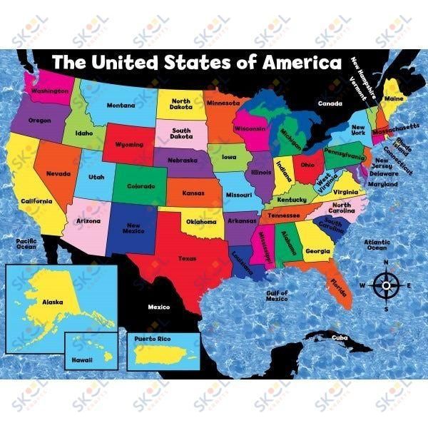
The USA Map Classroom Poster
Gets your packages to you quickly and in great shape.
Pick up in-store today for most items
Give us a call: (718) 702-8161